Columbus Blueprint: Near South - Morrill / Ann Area
City of Columbus
Facts
Site Size: 160 acres
Client/Owner: City of Columbus, Department of Public Utilities Lead Engineer: DLZ
Site Location: Columbus/Delaware, OH
Moody Engineering Project Manager: David Moody

Description
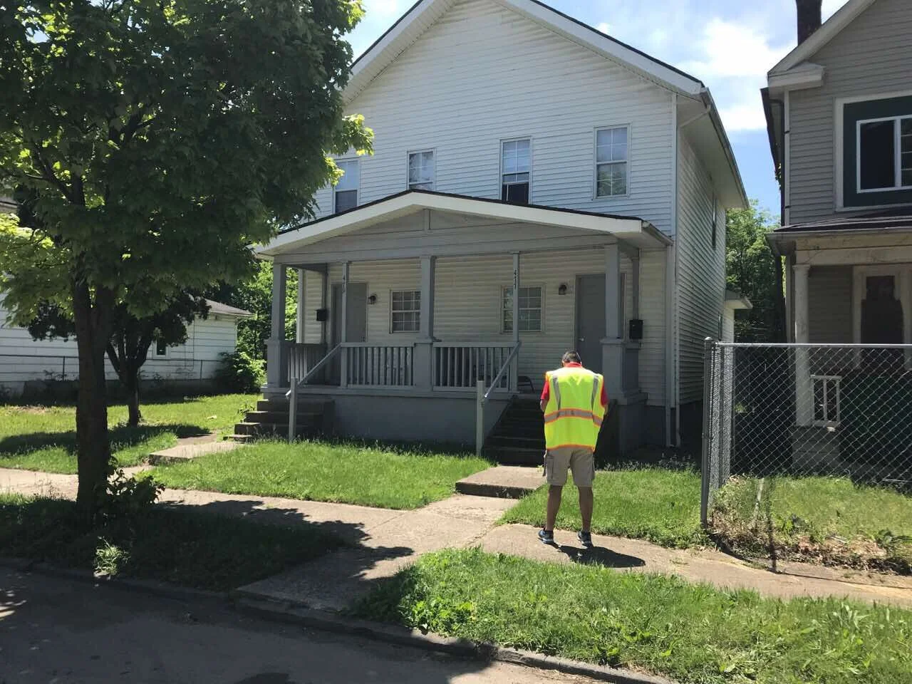
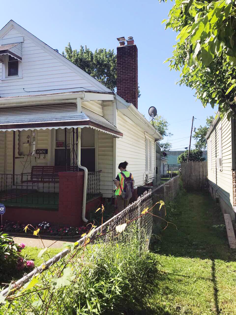
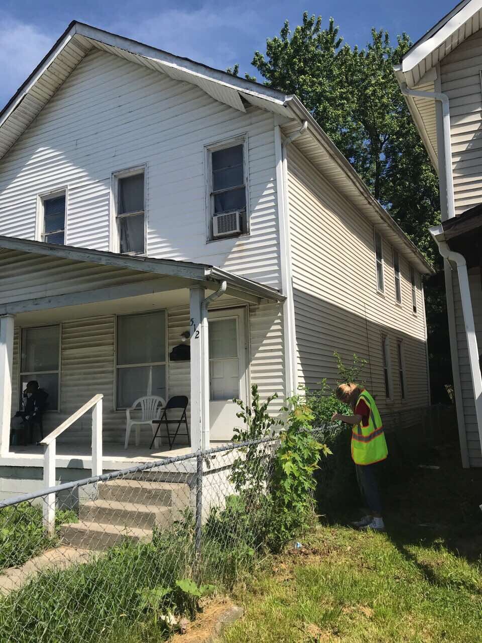
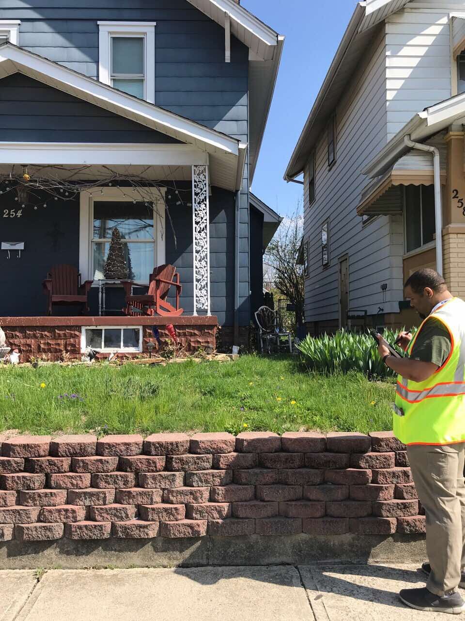
Moody Engineering teamed up with DLZ, Inc. to collect information for Columbus Blueprint, a program designed to address stormwater issues related to combined sewer overflows and sanitary sewer backups. Our main goal within this phase of the project was to collect data using the ArcGIS app on our iPads. We spoke to as many residents as possible and gathered information about basement flooding, sump pumps, downspout types and locations, ponding locations and areas where green infrastructure could easily be implemented.
For each house inspected, if the resident was home they were asked if their basement floods and if they have a sump pump. Then, we recorded information about each downspout regarding location, type, obstacles to get to the road, and the drainage area of the roof. We also took pictures of the house, and marked various features like trees and shrubs. Information about garages, their downspouts and drainage areas were also documented.
In total we recorded information about 487 house and 227 garages for a total of 714 buildings, over the course of 40 days.